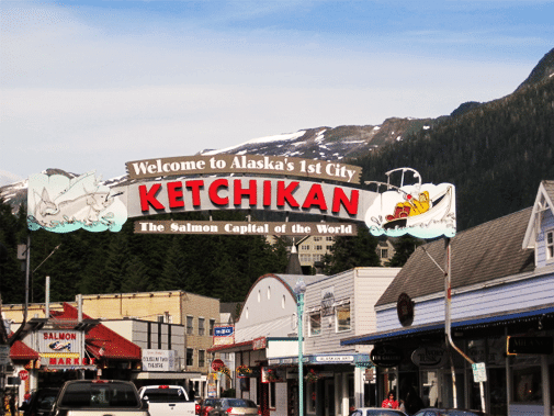
About Ketchikan, Alaska
Ketchikan is located on Revillagigedo Island in Southeast Alaska. Ketchikan is 679 miles north of Seattle, and 235 miles south of Juneau. Our road system is about 32 miles long from one end to the other. There are no roads off of our island, so you have to either take a boat or plane to get here. Our population is approximately 14,000 people.
We get an average of 162 inches of rain per year. The average temperature May through September is 50 to 60 degrees, with July and August being our warmest months when it can get into the 70’s.
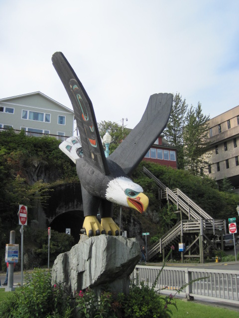
Alaska Natives from this area are Tlingit, Haida and Tsimshian. You can see the craftsmanship and story of the native people in the totem poles. Ketchikan is home to the largest concentration of totem poles in the world. Our town is rich in the arts and you can see many pieces of art throughout the area.
Ketchikan comes from the native words “kitsdhk-hin” meaning “the Thundering Wings of An Eagle”. The natives settled near Ketchikan Creek for the abundance of Salmon that spawn here. The settlers set up many canneries in the area.
The City of Ketchikan was incorporated in 1900. Alaska did not become a State until 1959! We were the 49th State to become part of the United States.
The Tongass National Forest surrounds most of Southeast Alaska, it encompasses 16.9 million acres. It is the largest National Forest in the United States. The Tongass is a temperate rain forest.
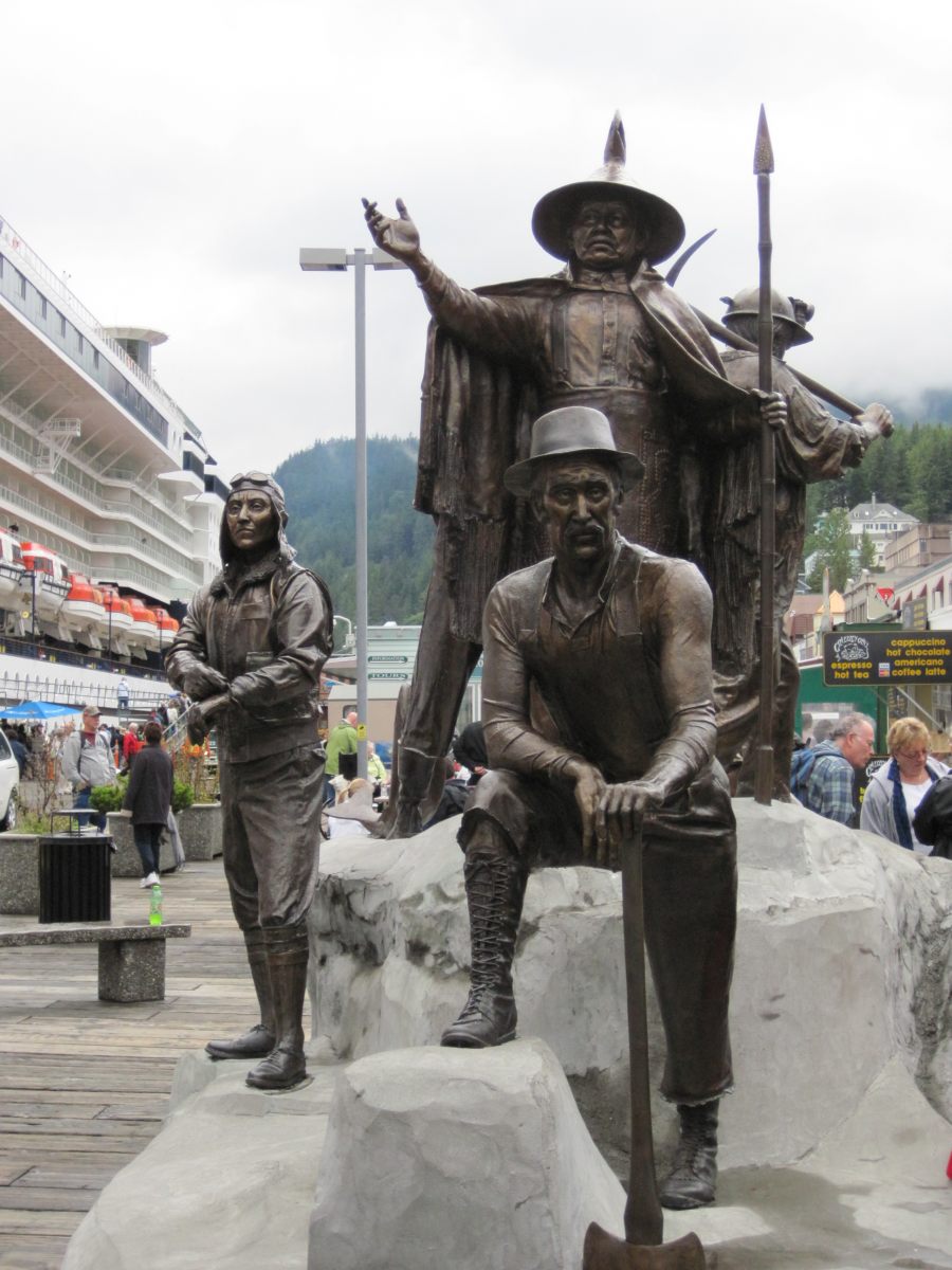
The downtown area offers great shopping within walking distance of the cruise ship docks. Creek Street is our historical red light district, it is on a wooden boardwalk over Ketchikan Creek, where you will find shopping and Dolly’s House.
Our economy started with Fishing, then moved into Timber, and now Tourism is our biggest staple. We see almost one million visitors a year!


